Claeys Road Diaries
“Of all the paths you take in life, make sure a few of them are dirt" ~John Muir
DEATH VALLEY IS VERY MUCH ALIVE #nps #deathvalley
Go to claeysroaddiaries.com for all pictures and full description


DEATH VALLEY
We skipped Death Valley National Park during the summer because of the intense heat and crowds, and figured that the fall/winter would be a better time to circulate through it. So, we came back from southern Colorado, across Utah and Nevada, and rolled into Death Valley in the middle of last week and spent 4 days there. The weather was beautiful with nights down in the mid-thirties and the days up in the 60’s and 70’s. The crowds were limited and we didn’t have any problems acquiring campsites in different locations in the park. Outside of the National Parks located in Alaska, Death Valley is the largest of America’s parks coming in at just over 3.3 million acres of wilderness. The valley itself is arid, intensely hot, and dotted with salt flats, and salt marshes during the rainy spring season. The salt looks like water from a distance. The valley is bordered on the west by the Panamint Mountains which rise above it 3,000 feet and on the east side of the valley by the Amargosa Mountains that rise above it 5,000 feet. The park holds three records: it is the hottest; the driest; and contains the lowest point in the western hemisphere at 282 feet below sea level.
As with all of the parks we visit, hiking is the way to get up close and personal with the amazing features that a park offers and Death Valley wasn’t any different. It also gets you away from the crowds so you have the ability to enjoy nature in some solitude, which is an important part of it. Most of our hikes took place either in the mountains, or, down in the valley on trails that took us into and up through canyons. Several of the roads that took us to the trail heads for these hikes were via rutted, rocky, dirt roads that were recommended for 4 wheel drive vehicles with high clearances, not exactly the features of a 24 foot Winnebago. Traveling those roads in the Winnebago were an adventure in and of itself!
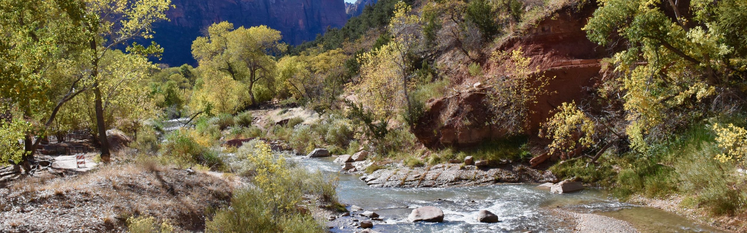
Our first hike was 4 miles through Mosaic Canyon. The walls of this canyon consisted of beautifully smooth, quartz and sediment layers as well as what is called Mosaic Canyon Breccia, which is fragment’s of rocks suspended in a cement like matrix. The passage through the canyon varied from about 100 feet across to ones we had to squeeze through. It also involved a bit of scaling passageway obstructions that required some bouldering and one vertical climb of about 20 feet up a rock wall. It ended with a dead end at a dry waterfall that was about 20 feet high and too smooth to climb. This was a great warm up hike and introduction to the various canyon rock formations we would be seeing. The second hike was 8 miles and took us to the top of Wildrose Peak. By far the most strenuous of our Death Valley hikes, Wildrose Peak is on the west side of the park in the Panamint Mountains. The final mile or so was switchbacks heading up to the summit and was a steep, windy and cold final stretch. The summit was colder with strong gusting winds but provided an outstanding view of the valley below as well as other summits in the mountain chain. This was meant to be our warm up hike for Telescope Peak the following day which is 14 miles, but for a number of reasons, especially the condition of the road that leads to the trail head, it didn’t happen. In addition to mountains and canyons, Death Valley also has a significant set of sand dunes near the Stovepipe Wells campground where we were staying. Much of the beauty of Death Valley is in the contrasts that the park provides you. There is certainly an amazing contrast in the colors, layers, and geologic form of the rock formations but there is also the contrast between flat desert, sand dunes, hills, and mountains. That was the case here where the dunes rise out of the desert and provide the tan, rounded foreground to the colorful, high peaks that are behind them. Our hike was about two miles and took us to the top of the highest dune where the colors and other contrasts were gorgeous. Hiking in sand by the way is a real chore where you take one step forward and then slide back two but the views were worth it. Our fourth hike was arguably the best because the contrasts of colors and layers, and geologic formations was absolutely jaw dropping. This was not a difficult hike but ran a little over seven and a half miles. It was the Golden Canyon to Zabriski Point hike and then a return through the Gower Gulch Loop. Like I said, it wasn’t a difficult hike even though it had a few ups thrown in but the contrasts encountered are difficult to describe and I’m tempted to say, “just look at the pictures above”. There were cliffs of red from oxidized iron interspersed with mounds of white and yellow and cliffs of greens and purples and jagged peaks as a backdrop to low rounded hills and views of the valley below and peaks of browns and layers of quartz sandwiched between all sorts of colors and when you put this all together in one view from the top of a high point, well its just too amazing to describe! One other key difference to note is that the hills and mountains here are not hidden by a thick layer of tree’s. Their surfaces, their colors, their history, and their story are fully exposed for all to see. How old you are, whether you’re sedimentary rock or volcanic rock, how you have eroded and what that erosion has exposed and how were you formed is all right there in front of you. I’ve said before that our National Parks in the western United States are a true geological paradise and there are all kinds of explanations for how these incredible features of our landscape were formed and how they have changed with erosion from rains and flash floods and the grinding of tectonic plates and what accounts for the different colors and the crazy formations etc. and, the National Park Service does a great job of giving descriptions in Visitor Center displays and informational handouts but its’ hard to keep track of it all. What you really need, or, what we really need, is our own private geologist to accompany us on these hikes, as although I’ve learned a lot in my 6 months so far, we always have more questions than answers when it comes to earth science. If I could, I’d order a geologist through Amazon since they make available just about everything else, but until they do, we’ll just keep searching for the answers on the internet when the hikes are done. Although it wasn’t a hike, a visit to Death Valley National Park is never complete without a visit to Badwater Basin, which is the lowest point in the western hemisphere at 282 feet below sea level. You can walk out on a carpet of packed down salt that has been carried here from the mountains, dissolved in water that quickly evaporates, leaving the salt behind. There is a whole story about how the water gets here and how long it has taken but I’ll leave that for another time. Our last hike was six miles through Fall Canyon. Unlike the other hikes and other canyons, Fall Canyon’s floor is covered with a thick layer of gravel of a multitude of different colored and size stones. Nothing against different colored stones but hiking through gravel is second only to sand as being a pain in the arse. When you reach the end of this canyon there is a steep climb up the side that gets you past the final wall and takes you into some supposedly magnificent passageways but we didn’t get to do that as it was late in the day and the cliffs were somewhat difficult to climb. Upon exiting the canyon, we encountered huge clouds of dust descending over the valley and blanketing it due to high winds. We decided to not stay in the park that night as the winds were supposed to be significant and basically would sentence us to an evening inside the RV. So, we headed the 60 miles southeast out of the park and spent the night in Pahrump, Nevada.
If you want to observe wildlife in Death Valley, the winter is not the time to come here. Flowers and plants and other wild life thrive in the spring rains. At this time of the year, the arid landscape is decorated by generally small mesquite tree’s, dry grass, tumbleweeds, etc. and animal life, at least that which we came across was limited to birds. Interestingly, we did find a mesquite tree in the sand dunes no less, that was flowering and had a dragonfly sitting on one of its flowers which was a nice surprise. The incredible geology of this park makes it easy to not feel you missed anything though. We could easily have spent another week here and never gotten bored with the amazing geological contrasts it provides. It is an awe inspiring park and one that should not be missed. As strange as it may sound, I sort of regret not experiencing the 130 degree temps that you would find here in the summer. It’s not an experience that you could have in very many other stops in ones travels, even if you only do it once. It is a wondrous treat however, any time of the year.

Happy Birthday Laurie!
LikeLike
Thanks. It is actually today. First time I got a message from you. Surprised.
LikeLike
Wow, guys – sounds amazing! I didn’t realize it was so large and have always wanted to go. That area with the strange travelling rocks is there, right? Did you see it?
LikeLike